
Mount Coot-tha Summit Track: Distance, Difficulty & How to Walk It (Brisbane)
Published 7 September 2026
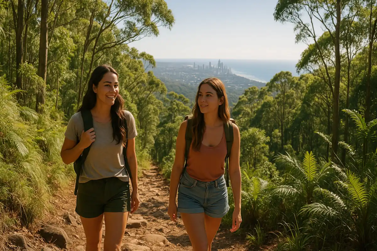
The Mount Coot-tha Summit Track is one of Brisbane's classic short walks. It climbs from the J.C. Slaughter Falls picnic area up through open eucalypt forest to Mt Coot-tha Lookout, with its well-known view back over the city.
It's a walk plenty of people do on a weekend morning: short enough to fit before breakfast, steep enough to feel like a workout. This guide covers the distance, difficulty, where to start, what the path is actually like underfoot, and how to handle Brisbane heat.
Details here follow Brisbane City Council's published track information as the primary source. Check with Council before you head out in case of temporary closures.
Distance, difficulty and time
- Brisbane City Council lists the Summit Track (track #58) as 1.9 km and about 30 minutes each way — roughly 3.8 km return, or around an hour return for most walkers.
- Difficulty is rated medium. Council's beginner's guide to walking at Mt Coot-tha also presents it as achievable for a range of fitness levels — it's popular and very walkable, but it is uphill and includes stairs, so allow extra time if it's hot or you're just starting out.
- One-way, the track finishes near the roundabout at Mt Coot-tha Lookout, where there's a cafe.
Trailhead — JC Slaughter Falls picnic area
- Start at the J.C. Slaughter Falls Picnic Area, Mount Coot-tha.
- Access is via Sir Samuel Griffith Drive (Gap Creek Road serves the wider forest). The picnic area sits approximately 10 km west of the Brisbane CBD.
- There is picnic area parking at the trailhead.
- Practical tip: drive to the end of the picnic area road, park, and follow the Summit Track signs uphill. Arrive early on weekends — it's a busy Brisbane classic.
- The Aboriginal Art Trail branches off near the Summit Track. Take care on uneven ground and near the creek if you detour.
What to expect (surface, stairs, climb)
- Council describes it as a mostly paved path, with some stairs.
- You walk through open eucalypt forest, and the grade steepens in short sections.
- The reward at the top is the lookout view across the city toward Moreton Bay.
- The wider reserve has seasonal waterfalls after rain, but the Summit Track itself is the paved climb — don't come expecting a waterfall on this particular path.
What to bring (Brisbane heat)
- Water, sun protection (hat and sunscreen), and sturdy shoes with grip for the stairs.
- Brisbane heat is the main thing to plan around: start early morning or go late afternoon, and take shade breaks.
- Bring your phone, and consider an offline map — mobile coverage is limited in some parts of the mountain.
- Dogs are allowed in Mt Coot-tha Reserve on a lead, and you must dispose of their waste. Carrying it out with you is good practice.
Safety
- Walk with a friend where you can.
- Creek crossings can be unsafe when flooded after heavy rain.
- Mobile coverage is limited in places — tell someone your plan and when you expect to be back.
Check Brisbane City Council for temporary track closures before you go.
While you're out
Mount Coot-tha is live in Active Quests as Location 811, with GPS checkpoints along the walk. If you complete the quest, it can earn you ACTIVE Coins.