
Angourie Walking Track — Yuraygir NP (Angourie)
Mara Creek picnic area, Yuraygir National Park, Angourie NSW 2464, Australia

Photo: Paul Gierszewski, CC BY 4.0 · source file (Wikimedia Commons) · Trail data: OpenStreetMap contributors, ODbL
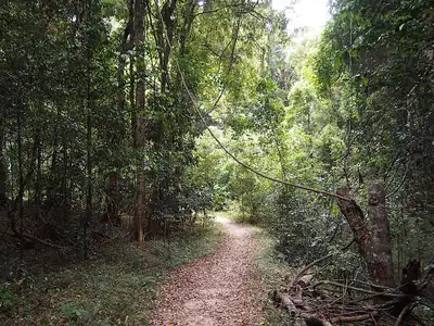
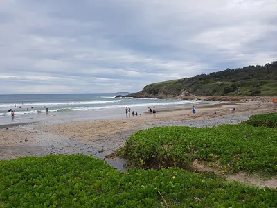
Angourie Walking Track (~3.55 km one way to the Shelly track; NSW NPWS lists 10 km return to Shelley Headland) in Yuraygir National Park — the NSW National Parks and Wildlife Service coastal walk from Mara Creek picnic area south towards Shelley Headland, listed at 10 km return (allow 3.5 to 4.5 hours) and graded Grade 3, clearly signposted with short steep hills and occasional steps. It crosses coastal heath (wildflowers in spring) above rocky shores and beaches, with whale watching in winter. No drinking water: bring your own; toilets at Mara Creek picnic area. Beaches are unpatrolled with strong rips. NPWS charges a park entry fee per vehicle; pets are not permitted. Hot and exposed: start early and carry plenty of water. Check in at GPS points to earn ACTIVE Coins. New South Wales walking quest for Active Quests / PUML. Track details: NSW National Parks and Wildlife Service; trail line: © OpenStreetMap contributors, ODbL 1.0. Photo: Paul Gierszewski, CC BY 4.0 (Wikimedia Commons).
Quest details
Distance
Typical time
Difficulty
Checkpoints
Check-in radius
ACTIVE Coins
Map
Checkpoints
- Angourie Walking Track — Mara Creek picnic area — 50 pts
- Angourie Walking Track — coastal heath — 50 pts
- Angourie Walking Track — Shelly track south — 50 pts
Leaderboard
No completions logged yet — be the first to complete this quest.
Nearby quests

Take on this quest
Check in at each checkpoint with the Active Quests app to earn points towards ACTIVE Coins.