
Underground Creek Track — Girraween
Girraween National Park (Underground Creek Track), Pyramids Road, Ballandean QLD 4382, Australia

Photo: John Robert McPherson, CC BY-SA 4.0 · source file (Wikimedia Commons) · Trail data: OpenStreetMap contributors, ODbL
Underground Creek Track in Girraween National Park (~1.2 km Easy OSM / QPWS Class 3). Walk to Underground Creek — check in at GPS points to earn ACTIVE Coins. Queensland walking quest for Active Quests / PUML. Photo: John Robert McPherson, CC BY-SA 4.0 (Wikimedia Commons).
Quest details
1.21 km
Distance
Distance
60 min
Typical time
Typical time
Easy
Difficulty
Difficulty
3
Checkpoints
Checkpoints
100 m
Check-in radius
Check-in radius
100
ACTIVE Coins
ACTIVE Coins
Tours & experiences
Map
Checkpoints
- Underground Creek Track — trailhead — 33 pts
- Underground Creek Track — mid — 33 pts
- Underground Creek — 34 pts
Leaderboard
No completions logged yet — be the first to complete this quest.
Nearby quests
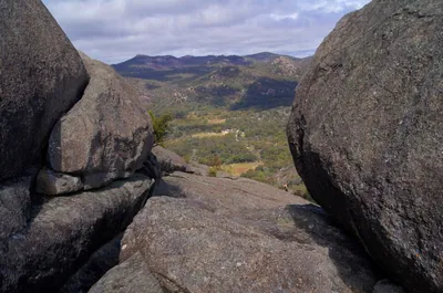
Dr Roberts Waterhole — Girraween<1 km away
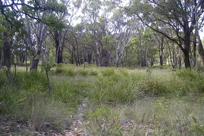
Mount Norman — Girraween3.4 km away
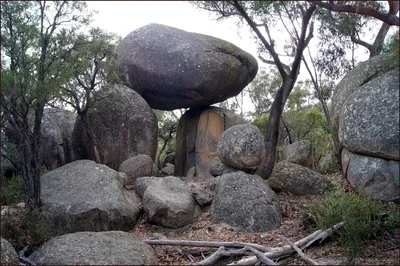
Granite Arch — Girraween3.5 km away
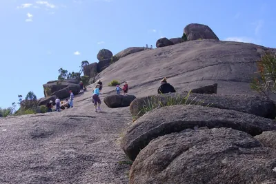
The Pyramid — Girraween3.6 km away
Take on this quest
Check in at each checkpoint with the Active Quests app to earn points towards ACTIVE Coins.