
Dandahra Crags Walking Track — Gibraltar Range
Dandahra Crags walking track, Gibraltar Range National Park, Gwydir Highway NSW 2370

Photo: Geoff Derrin, CC BY-SA 4.0 · source file (Wikimedia Commons) · Trail data: OpenStreetMap contributors, ODbL
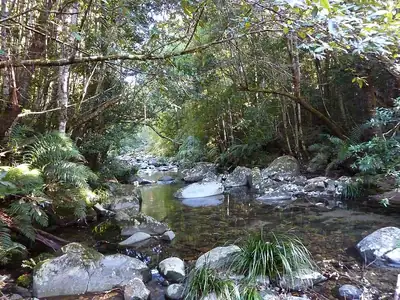
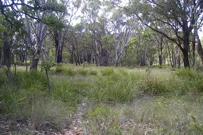
Dandahra Crags Walking Track (~7.11 km loop) in Gibraltar Range National Park — an NPWS Grade 4 loop of about 7.1 km (2 to 3 hours) past montane swamps and huge granite outcrops. The track skirts Surveyors Swamp, where wildflowers put on a show in spring and summer, before a bit of a climb at the end to the top of the crags for views towards Raspberry lookout and the Mann River valley. Bring binoculars for birdwatching. Park entry fees apply and the tableland weather can change quickly, so carry warm clothes and water. Remote area with little or no phone coverage: tell someone your plans, carry plenty of water and a map. Check in at GPS points to earn ACTIVE Coins. New South Wales walking quest for Active Quests / PUML. Track details: NSW National Parks and Wildlife Service; trail line: © OpenStreetMap contributors, ODbL 1.0. Photo: Geoff Derrin, CC BY-SA 4.0 (Wikimedia Commons).
Quest details
Distance
Typical time
Difficulty
Checkpoints
Check-in radius
ACTIVE Coins
Tours & experiences
Map
Checkpoints
- Dandahra Crags Walking Track — start — 66 pts
- Dandahra Crags Walking Track — one-third — 66 pts
- Dandahra Crags Walking Track — two-thirds — 68 pts
Leaderboard
No completions logged yet — be the first to complete this quest.
Nearby quests


Take on this quest
Check in at each checkpoint with the Active Quests app to earn points towards ACTIVE Coins.