
Flinders Peak Hiking Track — Flinders Peak (Booroong'pah)
Flinders Peak Conservation Park, Peak Crossing QLD 4306, Australia

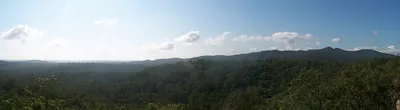
Photo: Shiftchange, CC0 · source file (Wikimedia Commons) · Trail data: QPWS, CC BY 4.0
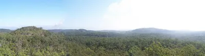
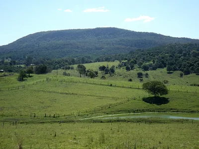
Flinders Peak Hiking Track (~2.81 km one way) in Flinders Peak Conservation Park — a steep, rocky climb through open eucalypt forest to the summit of Flinders Peak, the tallest point of the Flinders-Karawatha corridor, with wide views over the Scenic Rim. Rough and steep near the top; for fit walkers with good footwear, water and sun protection. Check in at GPS points to earn ACTIVE Coins. Queensland walking quest for Active Quests / PUML. Trail data: © State of Queensland (Queensland Parks and Wildlife Service), walking tracks open data, CC BY 4.0.
Quest details
Distance
Typical time
Difficulty
Checkpoints
Check-in radius
ACTIVE Coins
Tours & experiences
Map
Checkpoints
- Flinders Peak Hiking Track — start — 50 pts
- Flinders Peak Hiking Track — mid — 50 pts
- Flinders Peak Hiking Track — end — 50 pts
Leaderboard
No completions logged yet — be the first to complete this quest.
Nearby quests

Take on this quest
Check in at each checkpoint with the Active Quests app to earn points towards ACTIVE Coins.