
Mayne Ridge Track — Toohey Forest
Toohey Forest Park, Tarragindi QLD 4121, Australia

Photo: Brizpom, CC BY-SA 4.0 · source file (Wikimedia Commons) · Trail data: OpenStreetMap contributors, ODbL
Mayne Ridge Track (~1.5 km) in Toohey Forest Park, Brisbane — a ridge walking track near the Mayne Estate picnic area through sandstone outcrops, grass trees and eucalypt forest. Steep in parts. Check in at GPS points to earn ACTIVE Coins. Queensland walking quest for Active Quests / PUML. Photo: Brizpom, CC BY-SA 4.0 (Wikimedia Commons).
Quest details
1.45 km
Distance
Distance
40 min
Typical time
Typical time
Medium
Difficulty
Difficulty
3
Checkpoints
Checkpoints
100 m
Check-in radius
Check-in radius
150
ACTIVE Coins
ACTIVE Coins
Tours & experiences
Map
Checkpoints
- Mayne Ridge Track — start — 50 pts
- Mayne Ridge Track — mid — 50 pts
- Mayne Ridge Track — end — 50 pts
Leaderboard
No completions logged yet — be the first to complete this quest.
Nearby quests
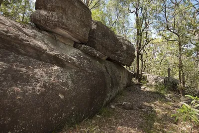
Planchoniana Track — Toohey Forest1.6 km away
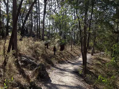
Tallowwood Track — Toohey Forest1.6 km away
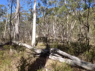
Jacksonia Track — Toohey Forest1.6 km away
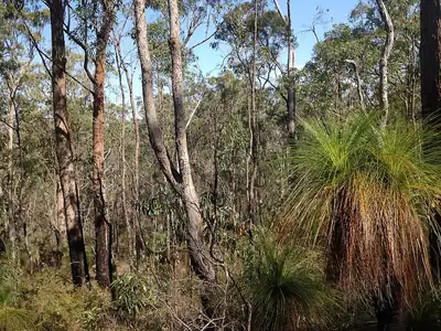
Wilcox Track — Toohey Forest1.7 km away
Take on this quest
Check in at each checkpoint with the Active Quests app to earn points towards ACTIVE Coins.