
McDirtys Walking Track — Oxley Wild Rivers NP (Dangars Gorge)
Dangars Falls picnic area, Dangarsleigh Road, Oxley Wild Rivers National Park, near Armidale NSW 2350, Australia

Photo: CrickyP, CC BY-SA 4.0 · source file (Wikimedia Commons) · Trail data: OpenStreetMap contributors, ODbL
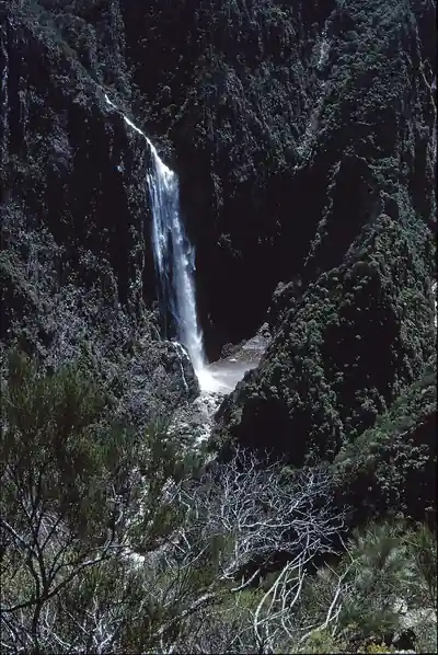
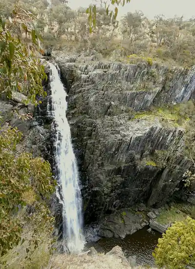
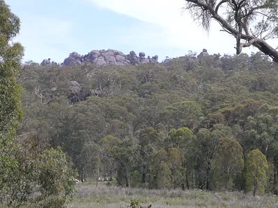
CURRENTLY CLOSED: NSW National Parks has closed the Dangars Gorge precinct (including McDirtys walking track, Dangars Falls picnic area and lookouts) for a visitor-facility upgrade until at least 31 January 2027, and penalties apply. Do not attempt this quest until NPWS reopens the track; check NSW National Parks alerts first. McDirtys Walking Track (~2.96 km one way, about 6 km return) in Oxley Wild Rivers National Park — an NSW National Parks Grade 3 walk, 6 km return (allow 2 to 3 hours), that follows the gorge rim from the Dangars Falls picnic area in the World Heritage-listed Oxley Wild Rivers National Park. Lookouts along the way include one directly above Dangars Falls and the Rock Wallaby lookout over deep river-cut ravines, and the track passes heathland and dry eucalypt forest where eastern grey kangaroos, scrubwrens, treecreepers and crimson rosellas are common. Look out for the rare gorge wattle on the cliffs. Cliff edges are unfenced in places, so keep to the track and supervise children. Return the same way. Check in at GPS points to earn ACTIVE Coins. New South Wales walking quest for Active Quests / PUML. Track details: NSW National Parks and Wildlife Service; trail line: © OpenStreetMap contributors, ODbL 1.0. Photo: CrickyP, CC BY-SA 4.0 (Wikimedia Commons).
Quest details
Distance
Typical time
Difficulty
Checkpoints
Check-in radius
ACTIVE Coins
Map
Checkpoints
- McDirtys Walking Track — start — 50 pts
- McDirtys Walking Track — mid — 50 pts
- McDirtys Walking Track — end — 50 pts
Leaderboard
No completions logged yet — be the first to complete this quest.
Nearby quests

Take on this quest
Check in at each checkpoint with the Active Quests app to earn points towards ACTIVE Coins.