
Mount Maroon Summit Route — Mount Barney NP (Scenic Rim)
Mount Maroon walking track, Cotswold Road, Maroon QLD 4310, Australia

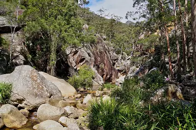
Photo: Brass razoo, CC BY-SA 3.0 · source file (Wikimedia Commons) · Trail data: OpenStreetMap contributors, ODbL
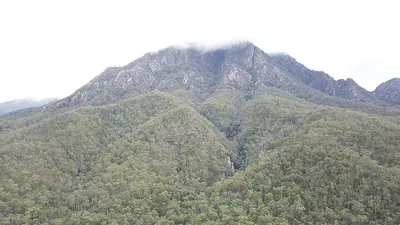
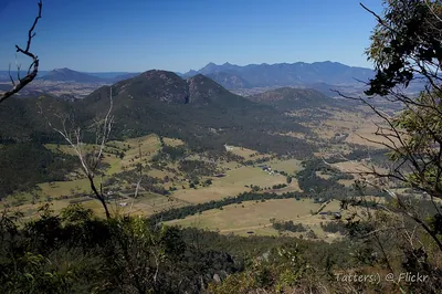
Mount Maroon Summit Route (~2.14 km one way) in Mount Barney National Park — a challenging, mostly unmarked route up the north-eastern side of Mount Maroon (966 m) from the Cotswold Road trailhead, with rock scrambling and steep slabs to the summit cairn and big views over Maroon Dam, Mount Barney and the Scenic Rim. For fit, experienced walkers with navigation skills only; avoid in wet weather and allow 5-6 hours return. Remote area with little or no phone coverage: tell someone your plans, carry plenty of water and a map. Hot and exposed: start early and carry plenty of water. Seasonal: tracks may close after heavy rain, in the wet season or during fire management; check Queensland Parks alerts before you go. Check in at GPS points to earn ACTIVE Coins. Queensland walking quest for Active Quests / PUML. Trail data: © OpenStreetMap contributors, ODbL 1.0. Photo: Brass razoo, CC BY-SA 3.0 (Wikimedia Commons).
Quest details
Distance
Typical time
Difficulty
Checkpoints
Check-in radius
ACTIVE Coins
Tours & experiences
Map
Checkpoints
- Mount Maroon Summit Route — start — 66 pts
- Mount Maroon Summit Route — mid — 66 pts
- Mount Maroon Summit Route — end — 68 pts
Leaderboard
No completions logged yet — be the first to complete this quest.
Nearby quests
Take on this quest
Check in at each checkpoint with the Active Quests app to earn points towards ACTIVE Coins.