
Mount Sorrow Ridge Trail — Cape Tribulation
Mount Sorrow trailhead, Cape Tribulation Road, Cape Tribulation QLD 4873, Australia

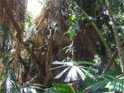
Photo: Vanbasten 23, CC BY-SA 3.0 · source file (Wikimedia Commons) · Trail data: QPWS, CC BY 4.0
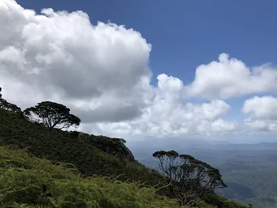
Mount Sorrow Ridge Trail (~3.55 km one way) in Daintree National Park (Cape Tribulation) — a very steep, rough ridge climb from Cape Tribulation through rainforest to a lookout over the coast and the reef. Start before 10am, allow most of the day and turn back if it rains. Remote area with little or no phone coverage: tell someone your plans, carry plenty of water and a map. Hot and exposed: start early and carry plenty of water. Seasonal: tracks may close after heavy rain, in the wet season or during fire management; check Queensland Parks alerts before you go. Check in at GPS points to earn ACTIVE Coins. Queensland walking quest for Active Quests / PUML. Trail data: © State of Queensland (Queensland Parks and Wildlife Service), walking tracks open data, CC BY 4.0.
Quest details
Distance
Typical time
Difficulty
Checkpoints
Check-in radius
ACTIVE Coins
Tours & experiences
Map
Checkpoints
- Mount Sorrow Ridge Trail — start — 66 pts
- Mount Sorrow Ridge Trail — mid — 66 pts
- Mount Sorrow Ridge Trail — end — 68 pts
Leaderboard
No completions logged yet — be the first to complete this quest.
Nearby quests


Take on this quest
Check in at each checkpoint with the Active Quests app to earn points towards ACTIVE Coins.