
Mt Cook Walking Track — Mt Cook NP (Cooktown)
Mount Cook National Park, Cooktown QLD 4895, Australia

Photo: John Robert McPherson, CC BY-SA 4.0 · source file (Wikimedia Commons) · Trail data: QPWS, CC BY 4.0
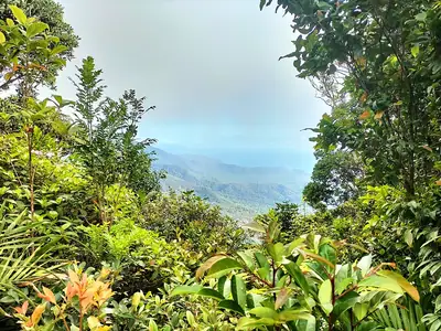
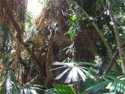
Mt Cook Walking Track (~2.25 km one way) in Mount Cook National Park — a steep, rough climb from the edge of Cooktown through open woodland and rainforest towards the summit of Mount Cook, with views over the Endeavour River and the Coral Sea. Hot and exposed: start early and carry plenty of water. Seasonal: tracks may close after heavy rain, in the wet season or during fire management; check Queensland Parks alerts before you go. Check in at GPS points to earn ACTIVE Coins. Queensland walking quest for Active Quests / PUML. Trail data: © State of Queensland (Queensland Parks and Wildlife Service), walking tracks open data, CC BY 4.0. Photo: John Robert McPherson, CC BY-SA 4.0 (Wikimedia Commons).
Quest details
Distance
Typical time
Difficulty
Checkpoints
Check-in radius
ACTIVE Coins
Tours & experiences
Map
Checkpoints
- Mt Cook Walking Track — start — 50 pts
- Mt Cook Walking Track — mid — 50 pts
- Mt Cook Walking Track — end — 50 pts
Leaderboard
No completions logged yet — be the first to complete this quest.
Nearby quests


Take on this quest
Check in at each checkpoint with the Active Quests app to earn points towards ACTIVE Coins.