
Walgun Cape Byron Walking Track — Byron Bay
Captain Cook Lookout, Lighthouse Road, Byron Bay NSW 2481, Australia

Photo: Ena Music, CC BY-SA 4.0 · source file (Wikimedia Commons) · Trail data: OpenStreetMap contributors, ODbL
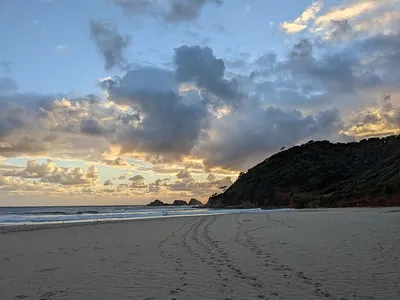
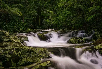
Walgun Cape Byron Walking Track (~4.34 km loop) in Walgun Cape Byron State Conservation Area — the classic Byron Bay headland loop (NPWS Grade 3; NPWS lists 3.7 km, 1 to 3 hours; the mapped quest line with connecting paths is a little longer). Wander through bangalow palms and burrawangs in Palm Valley, along Wategos Beach, out to the most easterly point of the Australian mainland and up to Cape Byron Lighthouse, then back along the clifftops. Watch the water for dolphins, turtles and, in season, migrating whales. Stay on the track and away from cliff edges; parking is limited on weekends and park entry fees apply. Hot and exposed: start early and carry plenty of water. Check in at GPS points to earn ACTIVE Coins. New South Wales walking quest for Active Quests / PUML. Track details: NSW National Parks and Wildlife Service; trail line: © OpenStreetMap contributors, ODbL 1.0. Photo: Ena Music, CC BY-SA 4.0 (Wikimedia Commons).
Quest details
Distance
Typical time
Difficulty
Checkpoints
Check-in radius
ACTIVE Coins
Tours & experiences
Map
Checkpoints
- Walgun Cape Byron Walking Track — start — 50 pts
- Walgun Cape Byron Walking Track — Most Easterly Point — 50 pts
- Walgun Cape Byron Walking Track — Cape Byron Lighthouse — 50 pts
Leaderboard
No completions logged yet — be the first to complete this quest.
Nearby quests

Take on this quest
Check in at each checkpoint with the Active Quests app to earn points towards ACTIVE Coins.