
12 Best Hikes Near Brisbane (Easy to Epic)
Published 26 October 2026
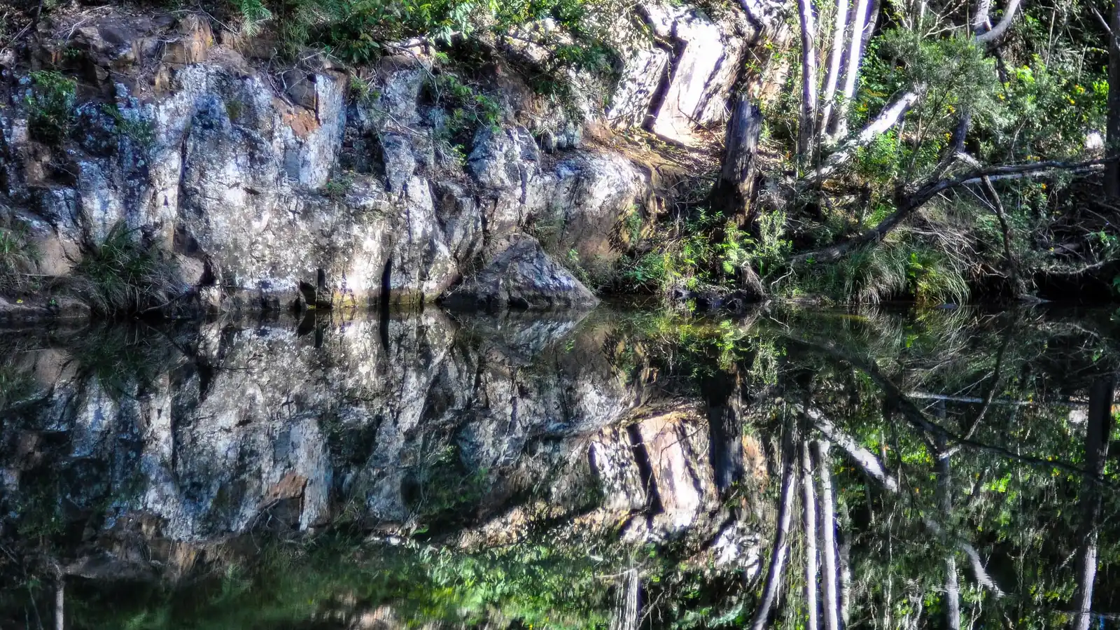
Photo: DiscoveryCampervans, CC BY-SA 4.0, via Wikimedia Commons.
Brisbane is surrounded by great walking country. There are bush summits inside the city limits, rainforest in D'Aguilar National Park, volcanic peaks in the Glass House Mountains, and the ancient rainforest of Lamington. Whether you want an easy 30-minute stroll or a full-day Grade 5 scramble, there's a hike near Brisbane for you.
Every distance, grade and time below comes from Queensland Parks and Wildlife Service (QPWS) or Brisbane City Council (BCC) pages, checked on 25 October 2026. Each hike also links to its Active Quests quest, so you can check in when you finish.
Hikes near Brisbane at a glance
| # | Hike | Area | Distance | Grade / time | Best for |
|---|---|---|---|---|---|
| 1 | Mt Coot-tha Summit Track | Mt Coot-tha (BCC) | 1.9 km one way | About 30 min one way | City views after work |
| 2 | Mt Gravatt Summit Track | Mount Gravatt Outlook (BCC) | 1.2 km | About 40 min | Southside summit and café |
| 3 | Araucaria track | D'Aguilar NP, Enoggera Reservoir | 5 km return | Grade 3, 2 hr | Hoop pines and a swim |
| 4 | Greenes Falls track | D'Aguilar NP, Maiala | 4.3 km return | Grade 3, 2 hr | Rainforest and a falls lookout |
| 5 | Morelia track | D'Aguilar NP, Manorina | 6 km return | Grade 4, 2 hr | Mount Nebo lookout views |
| 6 | Tibrogargan circuit | Glass House Mountains NP | 4.1 km return | Grade 3, 1 hr 30 min | Families |
| 7 | Mount Beerburrum summit walk | Glass House Mountains NP | 3.5 km return | Grade 3, 1 hr 30 min | A short, steep summit |
| 8 | Mount Ngungun summit walk | Glass House Mountains NP | 2.8 km return | Grade 4, 2 hr | Classic Glass House views |
| 9 | Yul-yan-man track | Glass House Mountains NP | 9 km return (from Beerburrum) | Grade 5, 3–4 hr | Experienced scramblers |
| 10 | Witches Falls circuit | Tamborine NP | 3.6 km return | Grade 4, 1 hr | A rainforest loop with cafés nearby |
| 11 | Python Rock track | Lamington NP, Green Mountains | 3.1 km return | Grade 3, 1 hr | Sunset lookout |
| 12 | Box Forest circuit | Lamington NP, Green Mountains | 10.9 km circuit | Grade 4, about 4 hr | A big rainforest day |
Sources: QPWS park and journey pages for D'Aguilar, Glass House Mountains, Tamborine and Lamington national parks; BCC pages for Mt Coot-tha and Mount Gravatt. Grades follow the QPWS system, where Grade 1 is easiest and Grade 5 is hardest.
Easy hikes in Brisbane (no car trip required)
1. Mt Coot-tha Summit Track
Brisbane's most popular city hike runs from the J.C. Slaughter Falls picnic area to the summit lookout. It's 1.9 km and takes about 30 minutes each way. BCC's beginners' guide to walking Mt Coot-tha calls it "a relatively easy walk" that is "perfect for all fitness levels", with a café at the lookout. Our Mt Coot-tha Summit Track guide has parking and route tips. For a shorter add-on, try the 650 m Simpson Falls track.
2. Mt Gravatt Summit Track
On the southside, the Summit Track climbs 1.2 km from Gertrude Petty Place to the Mount Gravatt Outlook in about 40 minutes. The summit has a café, a playground and toilets, according to BCC. On a clear day you can see Moreton Bay's islands and the Glass House Mountains.
D'Aguilar National Park: rainforest on Brisbane's doorstep
3. Araucaria track
Starting at Walkabout Creek Discovery Centre, just 12 km from Brisbane's city centre, this Grade 3 walk runs along Enoggera Reservoir beneath giant hoop pines. It's 5 km return and takes about 2 hours. QPWS suggests finishing "with a refreshing swim", but check Seqwater for the reservoir's current recreation rules first. You can even get there by bus: QPWS says to take the 385 to The Gap Park and Ride, then walk 600 m.
4. Greenes Falls track
From the Maiala day-use area at Mount Glorious, about 42 km from the city, this track passes "crystal-clear pools, strangler figs, abundant wildlife and a small cascading waterfall". It's 4.3 km return, Grade 3, and takes about 2 hours. You reach it by branching off the Cypress Grove circuit, which starts at Browns Road; QPWS says to take care crossing the road.
5. Morelia track
A step up to Grade 4, this 6 km return walk starts at Manorina, about 35 km from the city, and takes about 2 hours. It ends at the natural rock outcrop of Mount Nebo lookout, which QPWS says has views over the Samford Valley, Mount Tempest and Moreton Bay.
See all D'Aguilar National Park walks on the QPWS site.
Glass House Mountains: Brisbane's favourite day trip
The Glass House Mountains, north of Brisbane, are the most popular "proper hike" from the city. QPWS's Glass House Mountains walking tracks page lists:
6. Tibrogargan circuit
This 4.1 km return Grade 3 walk takes about 1 hour 30 minutes. It's only 1 km (about 20 minutes) to the Mountain View lookout, which looks out to Beerwah, Coonowrin, Tibberoowuccum and Tunbubudla. The rest of the circuit loops around the base of Tibrogargan. QPWS calls it "a great walk for families".
7. Mount Beerburrum summit walk
This 3.5 km return Grade 3 walk takes about 1 hour 30 minutes. After 1 km it becomes a very steep, paved path up to a fire tower. QPWS warns that the 750 m concrete section can be slippery and recommends ankle-supporting shoes.
8. Mount Ngungun summit walk
This 2.8 km return Grade 4 walk takes about 2 hours. It starts in open forest, passes a small rock overhang, and ends with summit views of Tibrogargan, Coonowrin and Beerwah. QPWS warns that the track passes close to sheer cliff edges, so supervise children closely. Rocks get very slippery when wet.
9. Yul-yan-man track (experienced only)
This Grade 5 track is 9 km return from Beerburrum trailhead and takes 3–4 hours. "Yul-yan-man", from the Kabi Kabi language, means "walk slowly". It involves rock scrambling on exposed, slippery surfaces and passes sheer cliff edges. QPWS says not to start if rain is predicted, you can see a fire, or it's extremely hot. Take more water than usual, since exposed rock radiates heat. Carry a fully charged phone, and consider a personal locator beacon.
Scenic Rim and Gold Coast hinterland
10. Witches Falls circuit, Tamborine
A 3.6 km return Grade 4 walk that takes about 1 hour. Most Tamborine tracks are short, and QPWS describes them as "relatively easy although some tracks have short, steep sections". Combine it with lunch on the mountain.
11. Python Rock track, Lamington
This 3.1 km return Grade 3 walk takes about 1 hour. It runs through lush forest to views of Morans Falls, Castle Crag and Mount Razorback.
12. Box Forest circuit, Lamington
This 10.9 km Grade 4 circuit takes about 4 hours. It passes stands of pink-barked brush box, Darragumai Falls, Picnic Rock and Elabana Falls. The circuit starts 3.2 km along the Border Track from the Green Mountains day-use area. QPWS puts Lamington 110 km south of Brisbane, so make a day of it.
How to choose the right hike
- New to hiking? Start with numbers 1, 2, 3 or 6.
- Want a summit? Try Mt Beerburrum, then Mt Ngungun.
- Want rainforest? Try Greenes Falls, Python Rock or Box Forest.
- Experienced? Try Yul-yan-man, but only in good conditions.
Check before you go: Tracks close for weather, fire and maintenance. Check QPWS park alerts and the Bureau of Meteorology forecast. QPWS's Walk with care advice: walk in pairs or groups, carry extra food, water and warm clothing, wear sturdy shoes, stay on marked tracks, and call 000 in an emergency.
Dogs: Dogs aren't allowed in Queensland national parks, which covers hikes 3–12. Leashed dogs are welcome on BCC reserve tracks, including Mt Coot-tha and Toohey Forest.
Collect them all
Active Quests turns every hike on this list into a GPS check-in quest. Walk the track, check in at the finish and earn ACTIVE Coins, then see how many Brisbane hikes you can tick off. Browse all quests.
Related guides
- Gold Coast Hikes: 12 Best Walks, Coast to Hinterland
- Sunshine Coast Hikes: 12 Best Walks, Noosa to Glass House
- Waterfalls Brisbane: 7 Falls Walks Near the City
- Gold Coast Waterfall Walks
Browse every Brisbane walking track and hiking trail on Active Quests.
Frequently asked questions
What is the best easy hike near Brisbane?
The Mt Coot-tha Summit Track (1.9 km, about 30 minutes each way) and the Tibrogargan circuit in the Glass House Mountains (4.1 km return, Grade 3) are both great easy options. QPWS calls Tibrogargan "a great walk for families".
Where can I hike in Brisbane without leaving the city?
Mt Coot-tha, Toohey Forest and Mount Gravatt Outlook, Karawatha Forest, and the southern section of D'Aguilar National Park around Enoggera Reservoir all have walking tracks within Brisbane.
What is the hardest hike near Brisbane?
Of the hikes on this list, the Grade 5 Yul-yan-man track in the Glass House Mountains is the most challenging. It involves rock scrambling, exposed rock and sheer cliff edges, and is for experienced walkers only.
Can I climb Mount Beerwah?
QPWS lists Mount Beerwah as a summit route, not a walking track, and warns that it needs critical skills. Severe injury or even death can result from accidents. If you don't have the fitness or experience, don't attempt it. Mount Coonowrin is a restricted access area. For a safe close-up of Beerwah, take the 200 m return Mount Beerwah view walk.
Are dogs allowed on hikes near Brisbane?
Not in national parks. Leashed dogs are allowed in many BCC bushland reserves, including Mt Coot-tha, Toohey Forest and Karawatha Forest.
What should I bring on a hike near Brisbane?
At least 2 L of water per person, a hat, sunscreen, insect repellent, sturdy shoes, a warm or waterproof layer, snacks, a first aid kit and a charged phone with the Emergency Plus app.
Tours & experiences near Brisbane
Pick a peak
There's a hike near Brisbane for every weekend of the year. Start ticking them off with Active Quests, available on the App Store.