
Brisbane walking tracks and hiking trails
Brisbane has bushland on its doorstep. Brisbane City Council manages more than 10,000 hectares of bushland, wetlands and forests, and this hub lists 61 Active Quests walks in and around the city. Each one has GPS checkpoints, a distance and a difficulty rating.
Best walking areas in Brisbane
- Mt Coot-tha Reserve. More than 1,600 hectares with over 18.5 km of easy, moderate and difficult tracks, according to Brisbane City Council. The 1.9 km Summit Track climbs from the J.C. Slaughter Falls picnic area to the lookout.
- Toohey Forest and Mt Gravatt Outlook. About 260 hectares of forest just 10 minutes from the CBD, linked by trails to the 91-hectare Mount Gravatt Outlook Reserve. On a clear day the lookout has views to the Moreton Bay islands, the D'Aguilar Range and the Glass House Mountains. Try the Mount Gravatt Summit Track.
- Karawatha Forest. One of Council's largest bushland reserves at about 900 hectares, with lagoons, sandstone ridges and eucalypt forest. See the Karawatha Forest page or start with the Ironbark Circuit.
- Boondall Wetlands. Brisbane's largest wetlands, about 1,150 hectares on the edge of Moreton Bay and listed under the Ramsar Convention. Its flat paths and boardwalks, such as the Tabbil-ban dhagun Boardwalk, suit families and easy walks (Boondall Wetlands info).
- D'Aguilar National Park. Bigger, hillier bushwalks north-west of the city, managed by Queensland Parks and Wildlife Service. Check the D'Aguilar National Park page before you go.
The list below also includes nearby walks at Daisy Hill, Venman Bushland, Enoggera Reservoir, Minjerribah (North Stradbroke Island) and Mulgumpin (Moreton Island).
Seasons, parking and safety
- When to go. Autumn, winter and spring are the most comfortable seasons for longer walks. Summers are hot and humid with afternoon storms, so start early and carry plenty of water.
- Parking. Toohey Forest has 2 car parks off Toohey Road. Mt Gravatt Outlook has car parks at Gertrude Petty Place and the lookout on Mount Gravatt Outlook Drive. Karawatha's main car park is at the Discovery Centre, 149 Acacia Road, with a smaller one off Illaweena Street. Boondall Wetlands' main car park is at the Environment Centre.
- Opening hours. Karawatha Forest Park is open 6am to 6pm and Boondall Wetlands 6am to 7pm daily.
- Safety. Council warns that rain can leave washouts, ruts and uneven surfaces on some tracks. Keep to existing tracks, follow signs, keep dogs on a leash in Council reserves (outside off-leash areas) and check Queensland park alerts for national parks.
Planning a day out? Read our guides to hikes near Brisbane, waterfalls near Brisbane and dog-friendly hikes in Brisbane.
Tours & experiences in Brisbane
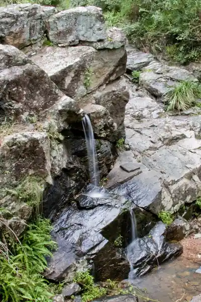
Aboriginal Art Trail — JC Slaughter Falls (Mt Coot-tha)
0.72 km · Easy
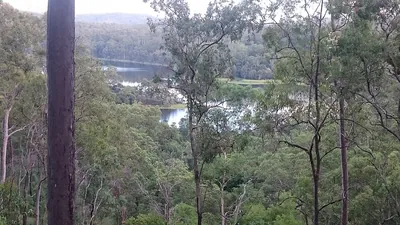
Araucaria Track — Enoggera Reservoir
2.85 km · Medium
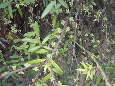
Augies Loop — D'Aguilar
6.4 km · Hard
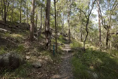
Baileyana Track — Toohey Forest
0.61 km · Easy
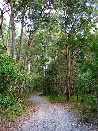
Banksia Trail — Karawatha Forest
2.05 km · Medium
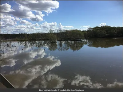
Billai Dha-gun Track — Boondall Wetlands
1.75 km · Easy
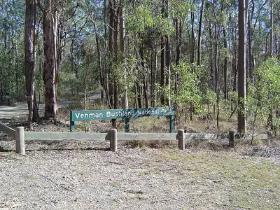
Boggy Loop — Venman Bushland
2.09 km · Medium
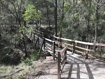
Curtisii Trail — Karawatha Forest
1.72 km · Medium
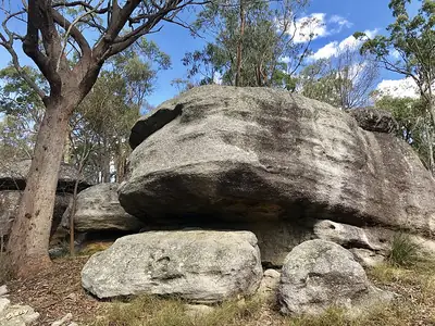
Dianella Track — Karawatha Forest
1.7 km · Medium
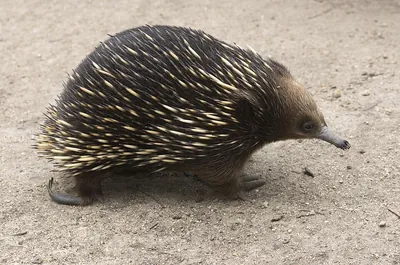
Echidna Trail — Karawatha Forest
1.27 km · Easy
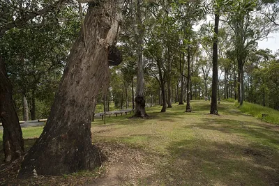
Eugenia Circuit — Mt Coot-tha
2.8 km · Medium
Federation Track — Mt Gravatt Outlook
0.94 km · Easy
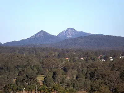
Flinders Peak Hiking Track — Flinders Peak (Booroong'pah)
2.81 km · Medium
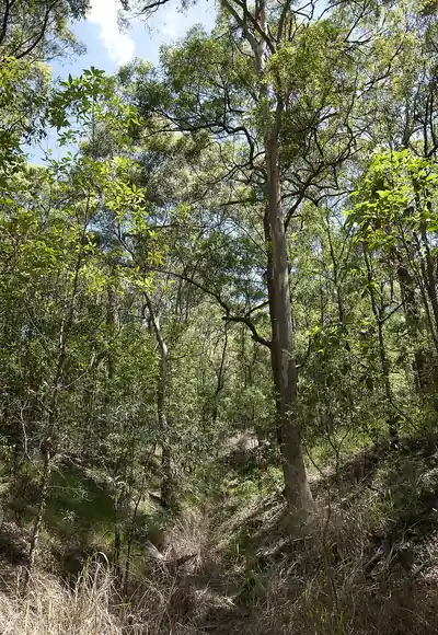
Geebung Track — Mt Gravatt Outlook
0.84 km · Easy
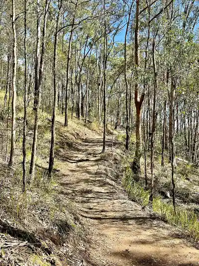
Ghost Hole Track — Mt Coot-tha
0.67 km · Easy
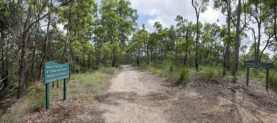
Giwadha Circuit — Chermside Hills Reserve
0.64 km · Easy
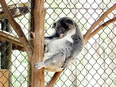
Glider Trail — Daisy Hill (Neville Lawrie Reserve)
2.22 km · Medium
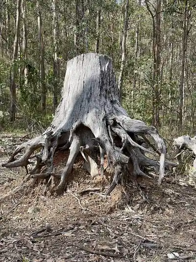
Goanna Trail — Mt Coot-tha
2.01 km · Medium
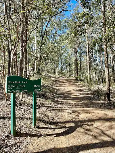
Golden Orb Track — Mt Coot-tha
0.85 km · Easy
Hakea Trail — Karawatha Forest
0.94 km · Easy
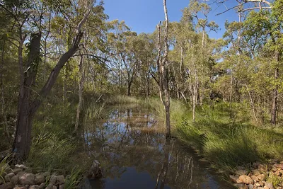
Ironbark Circuit — Karawatha Forest
1.2 km · Easy
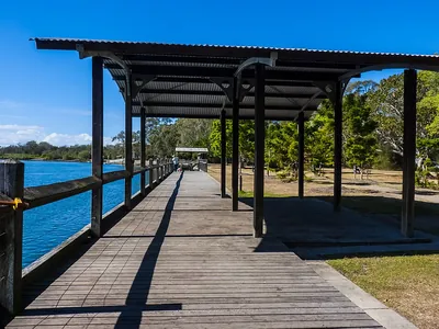
Island Circuit — Tinchi Tamba Wetlands
0.99 km · Easy
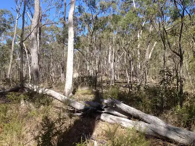
Jacksonia Track — Toohey Forest
0.85 km · Easy
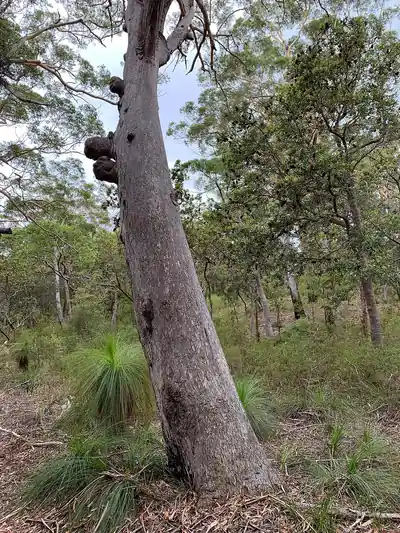
Kaboora (Blue Lake) Track — Minjerribah (Straddie)
3.13 km · Hard
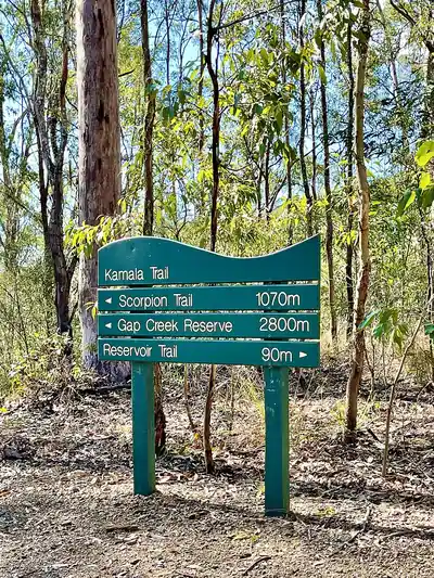
Kamala Trail — Mt Coot-tha
1.61 km · Medium
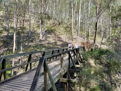
Kokoda Trail — Mt Coot-tha
0.98 km · Easy
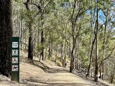
Kookaburra Trail — Mt Coot-tha
1.15 km · Easy
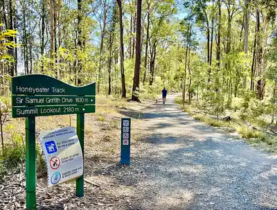
Kulgan Circuit — Mt Coot-tha (Bardon)
1.41 km · Medium
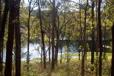
Long Range Walking Track — Enoggera Reservoir
1.42 km · Medium
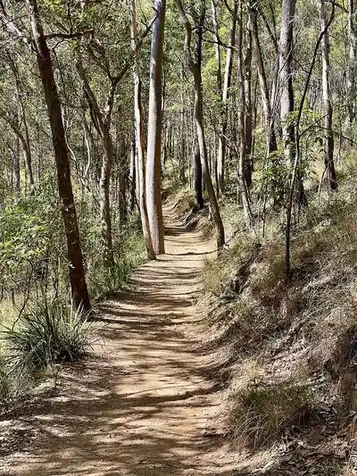
Maculata Track — Mt Coot-tha
0.98 km · Easy
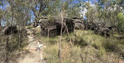
Maculata Trail — Karawatha Forest
2.78 km · Medium
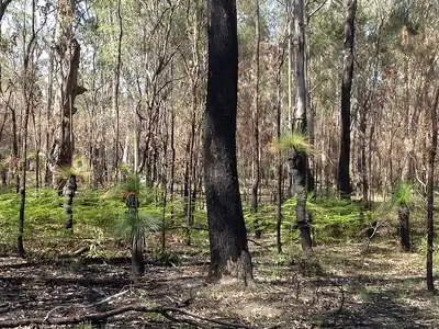
Mayne Ridge Track — Toohey Forest
1.45 km · Medium
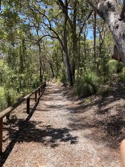
Mount Bippo Penbean Track — Minjerribah (Straddie)
3.2 km · Hard
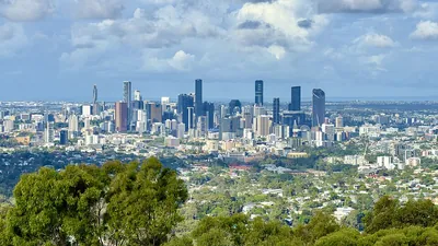
Mount Coot-tha Summit Track
3.8 km · Medium
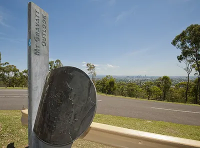
Mount Gravatt Summit Track — Toohey Forest
1.2 km · Medium
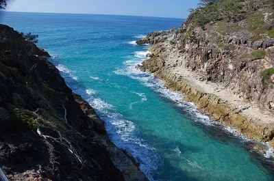
North Gorge Walk — Point Lookout (Minjerribah)
1.4 km · Easy
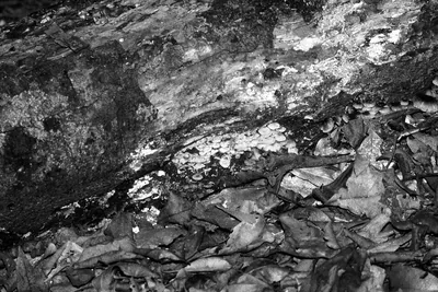
Pitta Circuit — Boombana / D'Aguilar
1.05 km · Easy
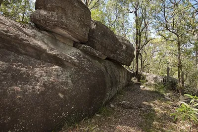
Planchoniana Track — Toohey Forest
0.69 km · Easy
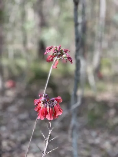
Powerful Owl Trail — Mt Coot-tha
2.79 km · Medium
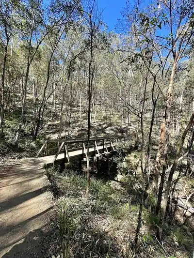
Python Trail — Mt Coot-tha
1.36 km · Medium
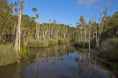
Racemosa Trail — Karawatha Forest
1.45 km · Medium
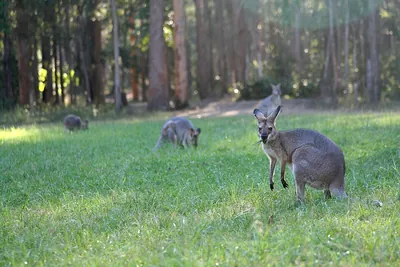
Ripleys Trail — Daisy Hill (Neville Lawrie Reserve)
2.15 km · Medium
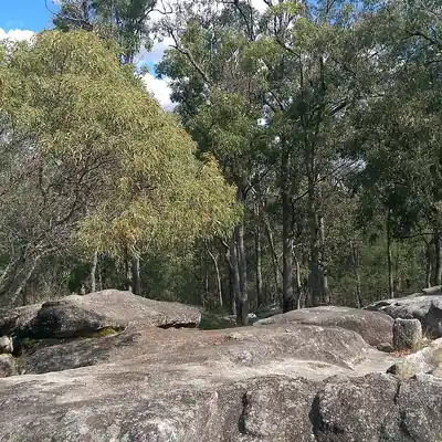
Rocks Circuit — Karawatha Forest
2.1 km · Medium
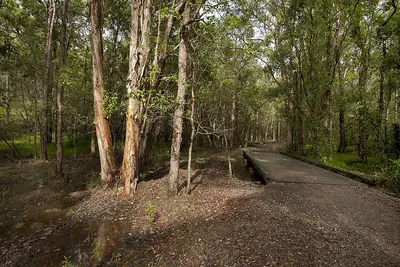
Seven Hills Circuit — Seven Hills Bushland Reserve
1.56 km · Easy
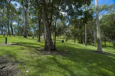
Simpson Falls Track — Mt Coot-tha
0.65 km · Medium
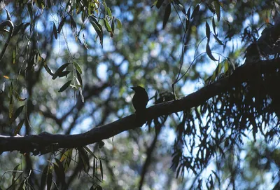
Spangled Drongo — Cornubia Forest (Logan)
1.48 km · Medium
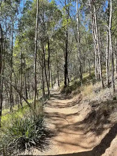
Spotted Gum Trail — Mt Coot-tha
2 km · Medium
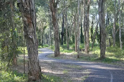
Tabbil-ban dhagun Boardwalk — Boondall Wetlands
1.5 km · Easy
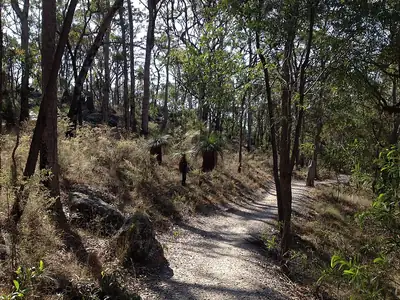
Tallowwood Track — Toohey Forest
0.69 km · Easy
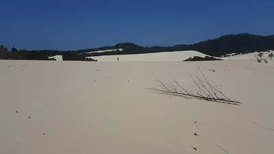
The Desert Track — Mulgumpin (Moreton Island)
1.45 km · Medium
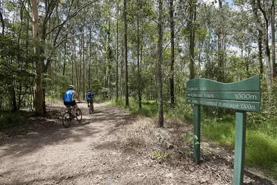
Themeda Track — Mt Coot-tha
0.83 km · Easy
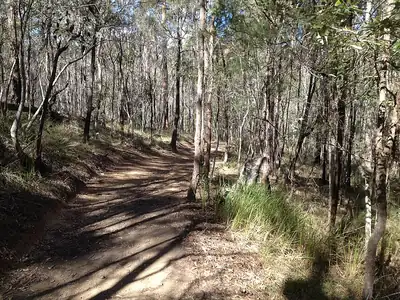
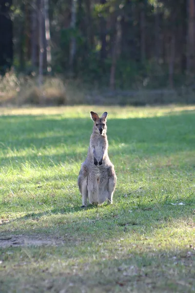
Tree Discovery Trail — Daisy Hill CP
1.03 km · Easy
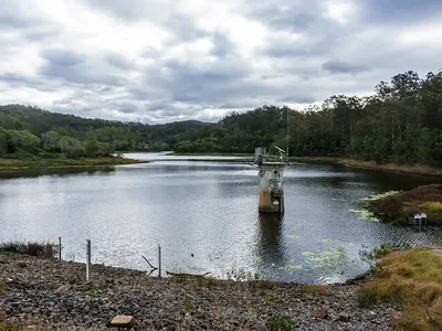
Tunnel Trail — Gold Creek Reserve
0.64 km · Easy
Turrbal Circuit — D'Aguilar
1.3 km · Medium
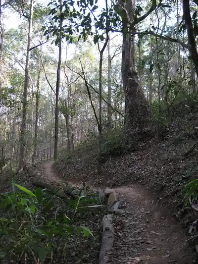
Wallum Froglet — Cornubia Forest (Logan)
1.73 km · Medium
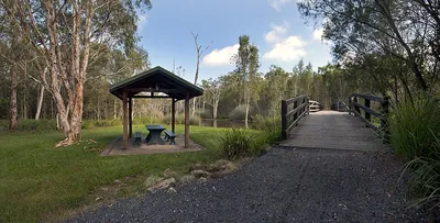
Wallum Trail — Karawatha Forest
1.01 km · Easy
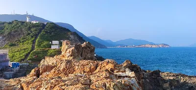
Western Window Track — D'Aguilar
1.2 km · Medium
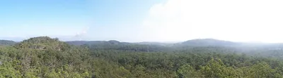
White Rock Loop — Ipswich
1 km · Medium
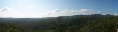
White Rock Track — Ipswich
3.1 km · Medium
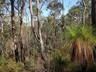
Wilcox Track — Toohey Forest
1.06 km · Easy
No results matching your filters.
Frequently asked questions
What is the best walk in Brisbane for city views?
The Mt Coot-tha Summit Track is the classic choice. Brisbane City Council lists it as 1.9 km (about 30 minutes) from the J.C. Slaughter Falls picnic area up a mostly paved path with some stairs to the lookout. Mt Gravatt Outlook is another good lookout walk on the south side.
Where are the easiest flat walks in Brisbane?
Boondall Wetlands has flat paths and boardwalks through mangroves and open forest. Karawatha Forest also has gentle tracks. Both are run by Brisbane City Council.
How long is the Mt Coot-tha Summit Track?
Brisbane City Council lists the Summit Track as 1.9 km, taking about 30 minutes. It starts at the J.C. Slaughter Falls picnic area and includes some stairs.
Can I take my dog on Brisbane walking tracks?
In Brisbane City Council bushland reserves, dogs must be on a leash unless you're in a signed off-leash area. Dogs aren't allowed in Queensland national parks such as D'Aguilar National Park.
When are Brisbane's bushland reserves open?
Hours vary by reserve. Brisbane City Council lists Karawatha Forest Park as open 6am to 6pm and Boondall Wetlands as open 6am to 7pm daily. Check the Council page for the reserve before you go.