
Red Cedar Falls Walking Track — Dorrigo National Park
Never Never picnic area, Never Never Road, Dorrigo National Park NSW 2453

Photo: Patrick.brun, CC BY-SA 4.0 · source file (Wikimedia Commons) · Trail data: OpenStreetMap contributors, ODbL
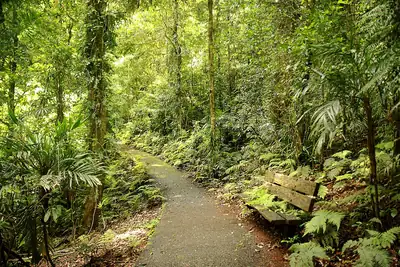
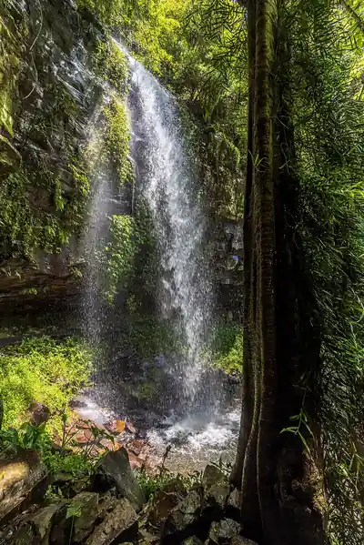
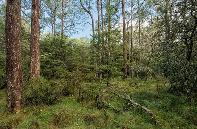
Red Cedar Falls Walking Track (~2.97 km one way) in Dorrigo National Park — a strenuous NPWS Grade 5 hike to the largest waterfall in Dorrigo National Park. From Never Never picnic area follow Rosewood Creek walking track for about 2 km to the turn-off, then descend steeply for about 1.2 km past towering red cedars and bangalow palms through World Heritage-listed rainforest to the base of Red Cedar Falls (NPWS lists 8 km return, 3 to 3.5 hours). Retrace your steps, or swing right at the turn-off to finish the rest of the Rosewood Creek circuit. Rocks near the falls are slippery; mobile reception is limited and free personal locator beacons can be hired at Dorrigo Rainforest Centre. Remote area with little or no phone coverage: tell someone your plans, carry plenty of water and a map. Check in at GPS points to earn ACTIVE Coins. New South Wales walking quest for Active Quests / PUML. Track details: NSW National Parks and Wildlife Service; trail line: © OpenStreetMap contributors, ODbL 1.0. Photo: Patrick.brun, CC BY-SA 4.0 (Wikimedia Commons).
Quest details
Distance
Typical time
Difficulty
Checkpoints
Check-in radius
ACTIVE Coins
Tours & experiences
Map
Checkpoints
- Red Cedar Falls Walking Track — start — 66 pts
- Red Cedar Falls Walking Track — mid — 66 pts
- Red Cedar Falls Walking Track — end — 68 pts
Leaderboard
No completions logged yet — be the first to complete this quest.
Nearby quests

Take on this quest
Check in at each checkpoint with the Active Quests app to earn points towards ACTIVE Coins.